Leaving northern Wales in our motorhome Vtee, we headed to Chester in England. Chester is a walled city on the River Dee, close to the border with Wales.
It was founded as a Roman fortress in 1st century AD, and is now one of the best-preserved walled cities in Britain.
We found Chester has good car parking facilities, so we parked Vtee right by the ancient city wall for a few hours, while we explored the city.
From the carpark, we climbed up some steps onto the wall. At the top, we had a great view of the imposing Chester Cathedral, just inside the wall. Founded as a Benedictine Abbey in 1092, it was gradually rebuilt from 1250 and onwards in Gothic style. Now, over 200 years later, it is a very beautiful building.
 |
| Chester's ornate Eastgate clock |
Walking along the wall, a few minutes further on we came to the beautiful Eastgate clock, a stunningly ornate clock that was built to commemorate Queen Victoria’s 1897 diamond jubilee. Its sits proudly exhibiting its beauty on a wall bridge over the main street of Chester.
After admiring the clock, we looked over the side of the wall and found ourselves right in the absolute centre of Chester.
What a gorgeous city. It has amazing building after amazing building! The whole main street is full of ancient and beautiful buildings on both sides, and all well maintained.
 |
| Chester Rows |
We walked along the Chester Rows with shops of old stone and half-timbered buildings dating from the 14th century. The adjoining streets were the same. There were so many of them we were constantly amazed and awestruck.
Later, we came across a Roman Amphitheatre which seemed to be an on-going excavation. It reminded us of how old Chester is.
After several interesting hours of wandering through Chester it was time to move on, so we headed to our next campsite, the Wirral Country Caravan Club in Liverpool.
 |
| View from our campsite |
It proved to be a lovely place to camp, being in a peaceful setting with views of an estuary and its sea-life.
The next morning, we headed to the nearest Park and Ride and caught the train right into the centre of Liverpool City.
Unfortunately, the weather was not kind to us and it was absolutely pouring as we made our way to the Royal Albert Dock. The Albert dock is a large collection of architecturally and historically significant buildings around the old dock area. It was opened in 1846 as Britain’s first structure built from cast iron, brick and stone.
It’s now a UNESCO World Heritage site and contains a collection of museums, including The Tate and the Museum of Liverpool.
The World Museum is also there and we visited and really enjoyed the exhibitions. It showed the history of settlement in Liverpool. While there, we were lucky enough to catch the John and Yoko exhibition of their life together.
The rain had eased off as we came out, so we made the most of the drier weather and walked around the city.
We soon came across and admired the huge Liverpool Cathedral which is the largest Anglican Cathedral in the world.
It has a large footprint and is very high, but it doesn’t have a spire which is unusual for such a church. From the site of this imposing Cathedral, we got a view down into the city. The streets are wide and tidy, and flanked by some lovely row-houses.
Walking on, we came to the Lower Duke Street area, another UNESCO site containing a lot of old heritage buildings. Liverpool seems to have a large range of heritage and other interesting buildings, and we found it easy to walk around seeing them.
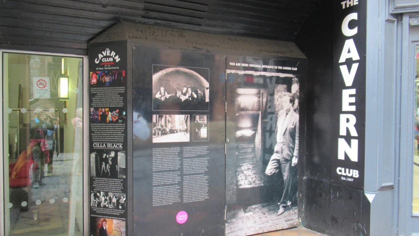
We also found our way to the Cavern Quarter. Of course, the Cavern Quarter, is also the area where the Beatles started their band career.
It seems that parts of Liverpool rely heavily on the Beatles, in particular, to drag the tourists in. They have the Fab4 store, the Fab4 café, a permanent ‘Beatles Story’ exhibition, and many bars with names reminiscent of Beatles, or caverns.
While there, we came across a lovely life-size statue of Cilla Black who began her career here. Apparently, she once worked as a cloak room girl at the Cavern Bar before having a successful music career herself.
The statue was unveiled in 2017 and looks great. Aaaahhh – the music says it all!
After spending a lot of time just wandering about and enjoying the different sights, the rain returned and we dived for shelter in a little café.
While we were in there, the heavy rain really set in so we made a run for the train station and called it a day.
The next morning, raining again, we began the drive north up to the Lakes District of England.
It seemed like a long trek in the bad weather, until we reached Lake Windermere and the rain eased. So, we stopped at Bowness on Lake Windermere for a walk.
It was a pretty place, but so full of tourists that it was difficult to move around. You felt as though you were constantly pushing your way through crowds.
After a look around we decided to move on and drove into the very pretty village of Ambleside. This is Beatrix Potter and William Wordsworth country, and with so many pretty lakes and villages, we could see how they might be inspired to creative writing.
We drove on, reaching Grasmere and then further along, Castlerigg Hall, our campsite for the night. This camp is on the side of a hill with views down to Derwent Water Lake, and beside the lake sits the town of Keswick.
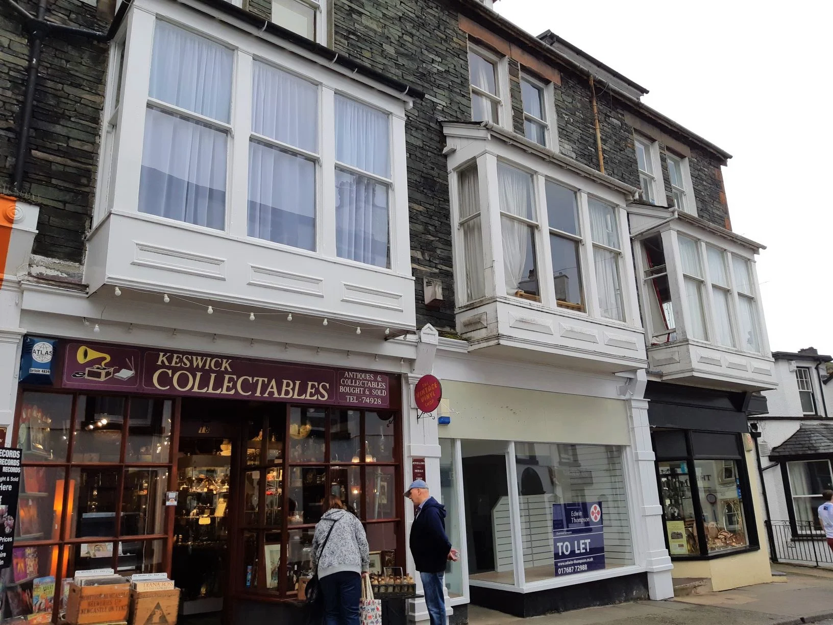
Keswick is a very pretty little market town, and well known for pencil making. Lead was discovered in the district in the 16th century (remember your school Derwent colouring pencils?). The Lakes District is lovely, and we enjoyed a nice break in this area.
Leaving Keswick and the Lakes District, we headed to Carlisle.
Carlisle began as a Roman settlement, established to serve the forts on Hadrian’s wall. Later, in the Middle Ages, it became an important military base. Later again, a citadel was built, which has a lovely round structure and is quite imposing.
Apparently, Carlisle was the most besieged place in the British Isles, and now days is still a military city.
Our next stop was Hadrian’s Wall.
Heading for the Wall, we stopped close by it for lunch at Lanercost Priory, a 12th-13th century church. The church was built with stones from nearby Hadrian’s Wall. The original priory is a ruin as it suffered greatly during the frequent Anglo-Scottish wars.
The ruin and church were interesting and it made a good lunch stop, before moving on to see more of the Wall and one of Hadrian's forts at Birdoswald.
Hadrian’s Wall represented the northern frontier of the mighty Roman Empire. For almost three centuries this frontier spread about 80 miles across England from coast to coast.
The Wall used to be up to 6 metres high in places, and the forts along the Wall, housed a garrison of around 20,000 soldiers from across the Empire.
The Birdoswald Fort was one of the more significant Roman forts along the wall. The Fort ruins also have nearby, the longest remaining intact stretch of Hadrian’s Wall.
We really enjoyed the history of this area, then afterwards, moved on into Scotland and the next part of our travels.
This is part of a bigger blog on our travels around England, Wales, Ireland, Scotland, Belgium and Luxembourg. The first blog is called "Off to do the UK in a motorhome".


